
Services
Aerial evidence and site intelligence configured around the project question
Explore current services and specialist outputs across progress monitoring, visual inspection, area mapping, project intelligence and data delivery. Every capability is scoped against the site, intended use, operating environment, required accuracy and output format before work is confirmed.
Capabilities are published only when the workflow, equipment, competence and quality controls are confirmed. Each card states whether the service is a core launch offer, available by quotation, or delivered with an identified specialist partner under a clear responsibility split.
Capture & Progress
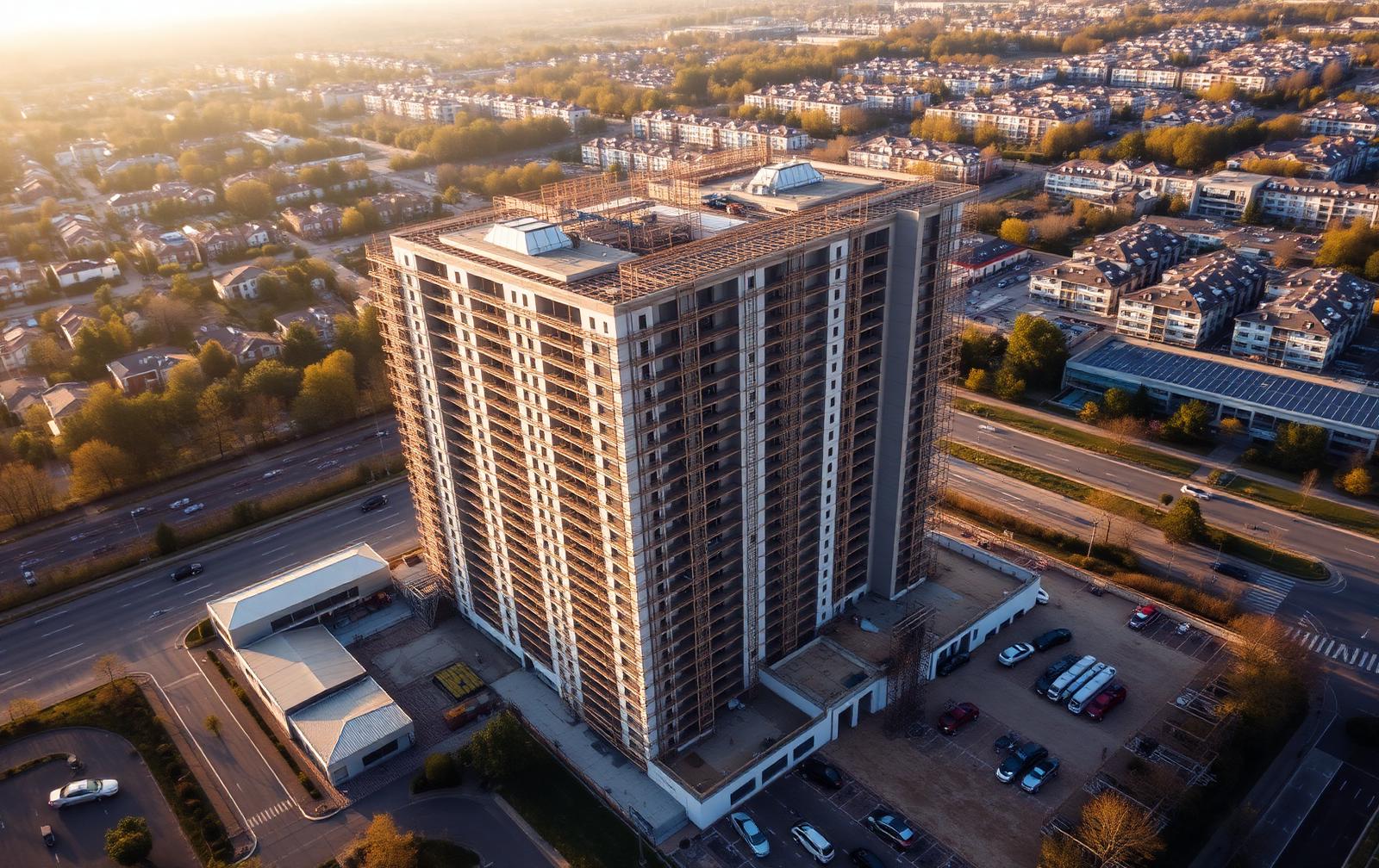
Construction progress monitoring
Repeatable aerial capture, dated visual evidence and progress reporting across agreed viewpoints and work packages.
Discuss this capability →Standard serviceOne-off site capture
Single-visit aerial photography and video for marketing, records, stakeholder updates or pre-works baselines.
Discuss this capability →Mapping & Spatial
Visual area mapping
Area and site overview mapping, repeatable progress maps and location-based observation records.
Discuss this capability →Standard serviceOrthomosaic & georeferenced outputs
Stitched top-down imagery and georeferenced image sets where the site, software and conditions support it.
Discuss this capability →Standard service3D photogrammetry & models
Mesh, point cloud or textured model outputs where an appropriate capture and processing workflow is commissioned.
Discuss this capability →Inspection & Asset Visuals
Roof, façade and envelope imagery
Stand-off visual coverage of hard-to-view areas with annotated findings and stated limitations.
Discuss this capability →Standard servicePre- and post-maintenance comparisons
Matched viewpoint imagery recorded before and after works to support asset records and contractor review.
Discuss this capability →Project Controls & Reporting
Progress dashboards & milestone comparison
Management views separating programme-stated dates, client-reported updates and visible evidence.
Discuss this capability →Standard serviceIssue registers & executive summaries
Location-referenced issue logs and concise summaries prepared for project and stakeholder meetings.
Discuss this capability →Data, Telemetry & Integration
Capture metadata & flight telemetry
Shot IDs, capture dates, conditions and operational references associated with delivered media.
Discuss this capability →Standard serviceGIS, CAD and BIM-compatible exports
Compatible formats where the requested format, accuracy and client system are agreed in advance.
Discuss this capability →Evidence-led reporting with specialist coordination
Synergy Bridge Intelligence provides visual inspections, progress monitoring, mapping and project-controls reporting. Where observations require structural, engineering, surveying, cost, legal or other specialist assessment, we can work with the client's appointed adviser or coordinate an appropriately qualified delivery partner as a separately agreed service.
Pricing
How is pricing calculated?
Every project is scoped and quoted individually, taking account of the site location, operational complexity, access requirements, visit frequency and required deliverables. This ensures the proposed service is appropriate to the site, the intended use of the outputs and the level of reporting required.
Tell us what you need to see.
Share the site location, project stage, intended flight date and required outputs. We will review the initial information and confirm the next steps before any flight is agreed.