
Visual inspections
Clear visual access to roofs, façades and difficult-to-view areas
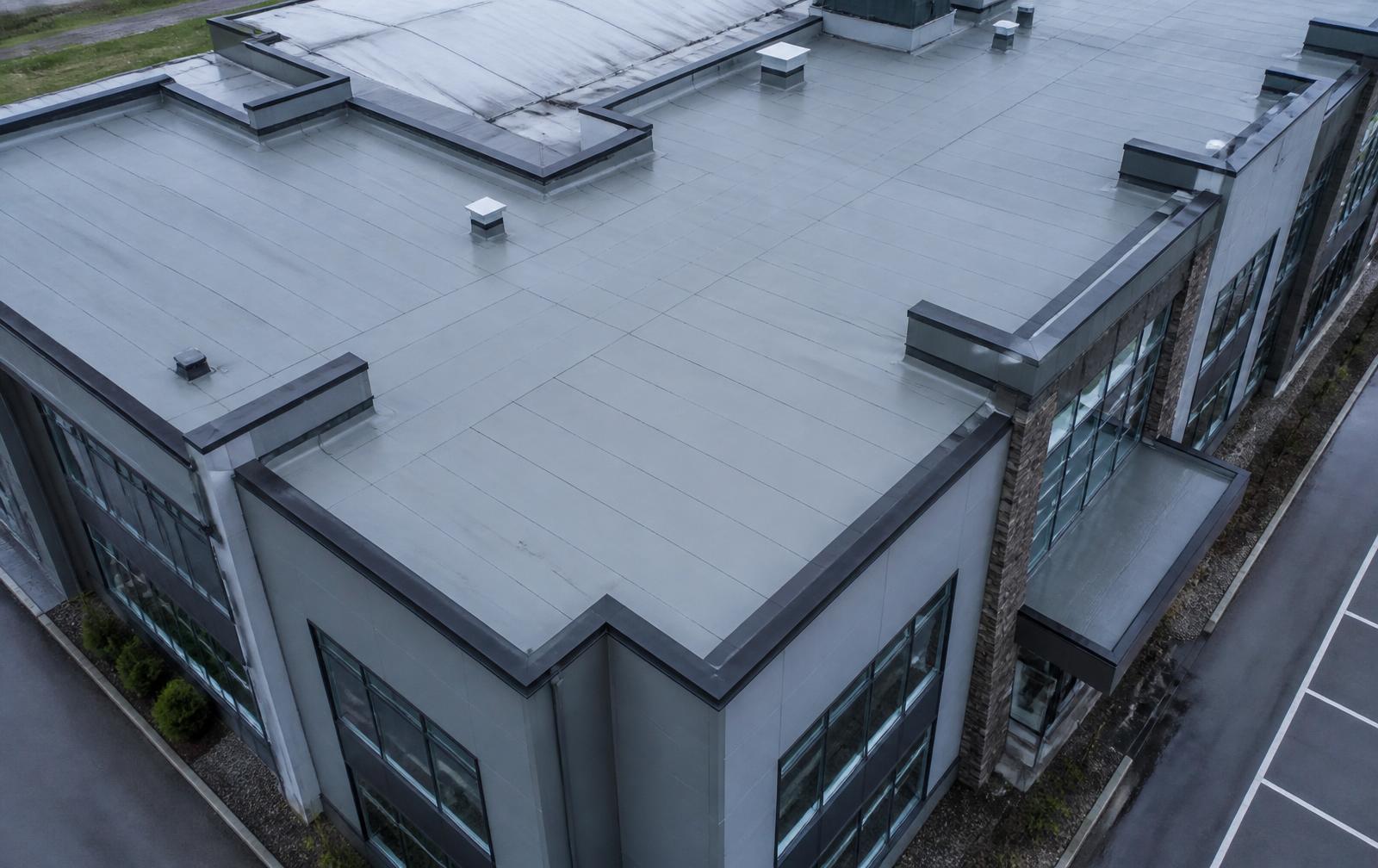
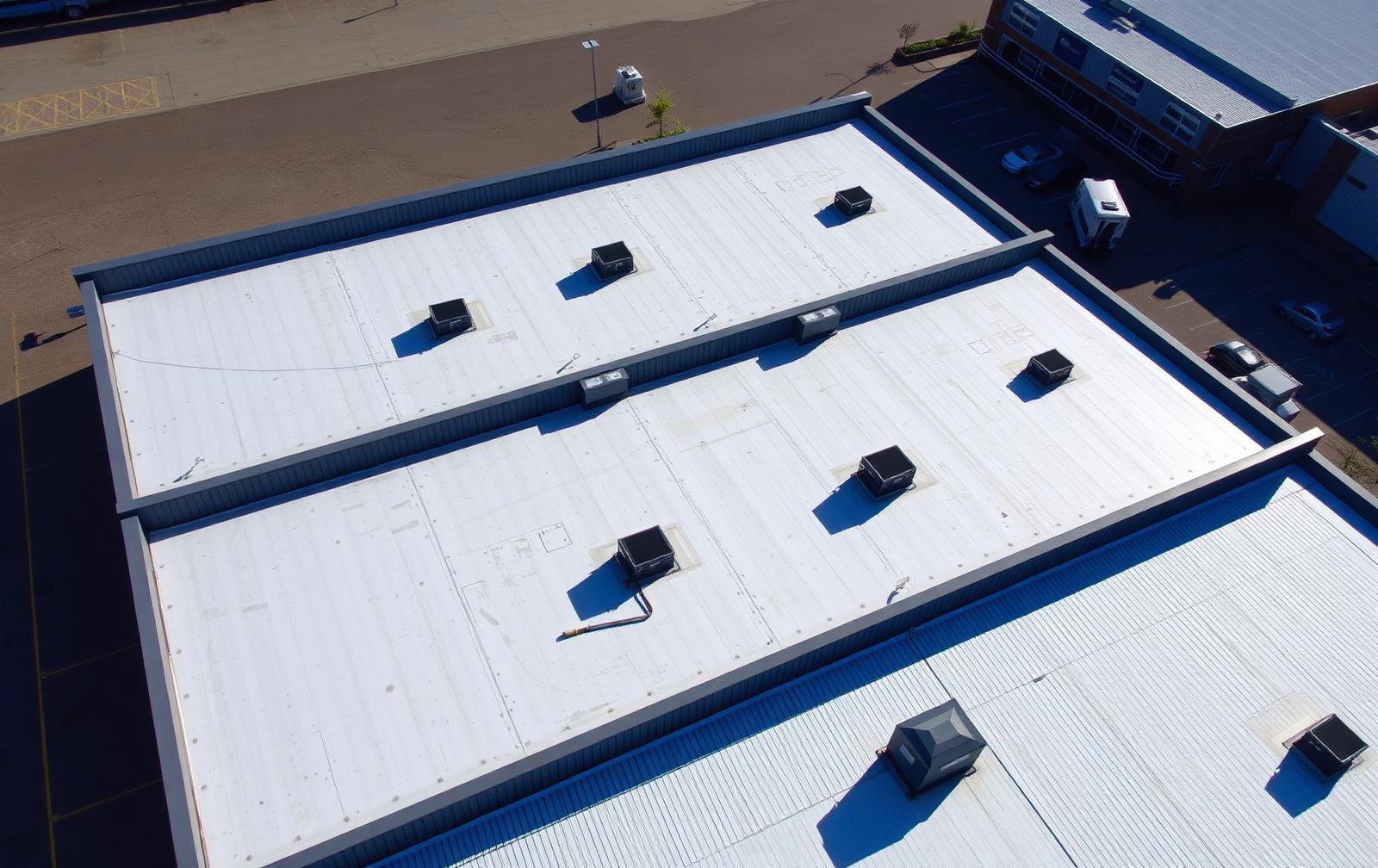
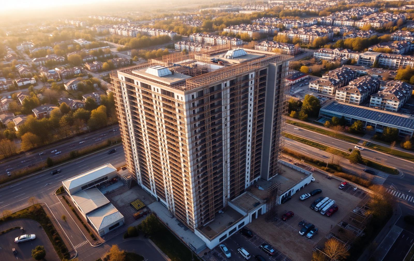
Drone imagery can provide useful stand-off views without placing a person at the capture position. Synergy Bridge records visible features, locations, image references and limitations so the client can decide where closer or specialist investigation may be required.
Suitable uses
- Roof and envelope overviews
- Façade and elevation imagery
- Gutters, parapets, flashings and visible junctions
- Storm or weather-related visual checks
- Pre-maintenance and post-maintenance comparisons
- Property acquisition or asset-record imagery
- Access planning and specialist referral support
What the report distinguishes
- The visible feature or condition observed in imagery
- Any context reported by the client
- Any relevant drawing or programme statement supplied
- Synergy Bridge's limited visual conclusion
- The image, zone and annotation reference
- Weather, distance, resolution, access and visibility limitations
- Any recommended referral to an appropriately qualified professional
Non-intrusive aerial visual inspection
High-resolution aerial imagery allows us to document the visible condition of roofs, façades, building envelopes and other difficult-to-access areas. Findings can be presented through annotated imagery, location references, an issue register and recommended next actions.
Where physical testing, intrusive investigation, engineering assessment or repair work is required, we can coordinate an appropriate specialist or repair contractor with the client's approval.
Inspection FAQs
Can the drone see every part of the roof or façade?
Not always. Adjacent buildings, trees, roof geometry, cranes, wires, people, airspace, weather and visual-line-of-sight requirements may restrict coverage. The report identifies unobserved or limited areas.
Will you diagnose a defect?
Synergy Bridge records visible features and can identify areas for client review. Diagnosis, engineering advice and confirmation of remedial work remain with the relevant qualified professional.
Can images be annotated?
Yes. Findings can be linked to image and zone references. The original media is retained separately so annotations do not replace the source evidence.
Tell us what you need to see.
Share the site location, project stage, intended flight date and required outputs. We will review the initial information and confirm the next steps before any flight is agreed.