
Mapping & site intelligence
See the whole site — and connect visual evidence to location
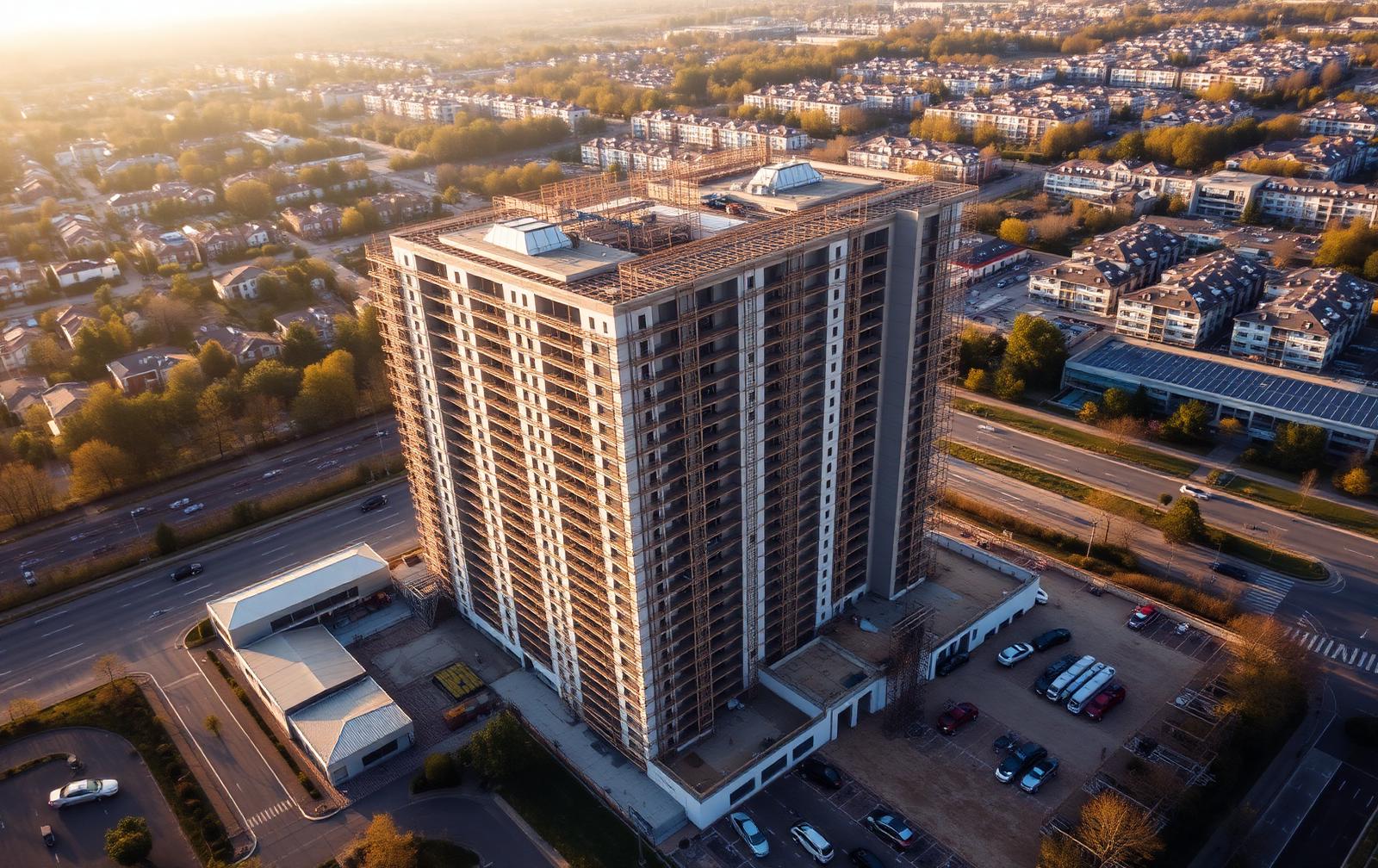
Aerial mapping can create a consistent area-wide record of a site, access route, boundary or work zone. Synergy Bridge configures the capture and output around the client's intended use, required coverage and appropriate accuracy level, then records the method and limitations clearly.
Mapping capabilities
- Area and site overview mapping.
- Orthomosaic or stitched top-down imagery where the site, aircraft, software and operating conditions support it.
- Repeatable progress maps across agreed reporting dates.
- Georeferenced image outputs and location-tagged visual records.
- Boundary, access, logistics and work-zone mapping.
- Location-based issue and observation mapping.
- Annotated 2D visual plans and map overlays.
- 3D photogrammetry or site models where an appropriate capture and processing workflow is commissioned.
- GIS, CAD or BIM-compatible exports where the requested format, accuracy and client system are agreed.

Suitable client questions
- What is the visible condition of the overall site on this date?
- How has an area changed between two controlled capture dates?
- Where is an issue, obstruction or work area located?
- Can project stakeholders review the same visual base map?
- Which access, boundary or logistics features should be recorded before works change?
- What mapping output and accuracy level is proportionate to the intended decision?
Accuracy and the survey-grade boundary
Mapping designed for its intended use
Every mapping assignment is planned around the required deliverable, site conditions and intended level of accuracy. The aircraft, camera, flight pattern, control method and processing workflow are selected and agreed according to the project requirements.
Where a measured survey, legal boundary, setting-out information or another formally certified survey output is required, we can coordinate suitable survey control and appropriately qualified surveying support.
Where higher positional accuracy is required, the quotation identifies the accuracy requirement, control-point or correction method, validation procedure, coordinate reference system and whether a suitably qualified surveying specialist is required.
Mapping deliverables
Web-viewable map derivative
A compressed map view suitable for stakeholder review and project meetings.
High-resolution orthomosaic
Stitched top-down imagery where commissioned, with the processing method recorded.
Georeferenced raster or image set
Location-tagged imagery supplied in the agreed format and coordinate system.
Annotated site map or issue layer
Observations, work zones and attention points marked against the base map.
2D comparison between dates
Matched map extents compared across controlled capture dates.
Method and limitation note
Coordinate system, accuracy statement, software, processing date and stated limitations.
Mapping FAQs
Is every map survey-grade?
No. A visual map and a verified measured survey are different products. The required accuracy, equipment, control method and specialist involvement must be agreed before the work is accepted.
Can mapping be repeated each month?
Yes, where the site and operating environment permit a repeatable flight pattern. Weather, access, cranes, temporary works, airspace and site activity can affect coverage and comparability, and material changes are recorded.
Can outputs be used in GIS, CAD or BIM?
Compatible formats may be provided where agreed, but compatibility does not by itself confirm positional accuracy or suitability for design, measurement or construction setting-out.
Tell us what you need to see.
Share the site location, project stage, intended flight date and required outputs. We will review the initial information and confirm the next steps before any flight is agreed.