
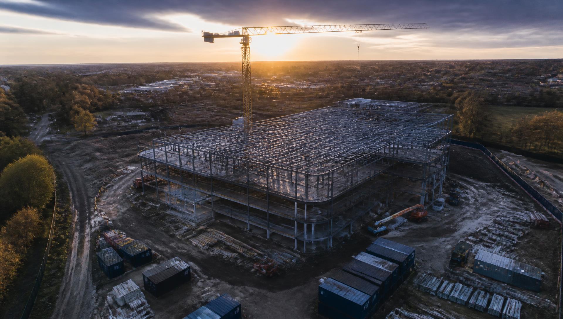
Aerial evidence for the built environment
See what is happening. Understand what has changed. Know where attention is required.
Synergy Bridge Intelligence combines repeatable drone capture, construction context and project-controls reporting to provide clear visual evidence for construction and property decisions.
Services
Construction progress monitoring
Repeatable aerial and ground-referenced imagery that shows visible change across agreed dates, viewpoints and work packages.
Read more →Drone inspections
Stand-off visual coverage of roofs, façades, envelopes and hard-to-reach areas, with visible findings and limitations recorded clearly.
Read more →Project controls and intelligence
Progress dashboards, milestone comparisons, issue registers and executive summaries that separate evidence sources and support better project conversations.
Read more →Aerial mapping and site intelligence
Area mapping, repeatable progress maps and georeferenced imagery that connect visual evidence to location.
Read more →Data, telemetry and deliverables
Capture metadata, shot references, mapping outputs and compatible formats delivered privately in the agreed structure.
Read more →See every capability
Browse the full service hub with published availability status for each capability group.
Read more →Professional standards behind every commission
- Registered UAS operator
- Qualified remote pilot
- Valid CSCS card held
- Site-specific safety assessment
Sectors we support
Drone-enabled inspection, monitoring and site intelligence for organisations responsible for buildings, land and operational assets.
Construction & Infrastructure
Progress monitoring, visual inspections, site documentation and repeatable aerial evidence for contractors, project teams and asset owners.
Commercial Property & Facilities
Roof, façade, envelope and estate-level visual inspections for landlords, managing agents and facilities teams.
Industrial & Warehousing
Aerial inspection and site intelligence for warehouses, logistics sites, manufacturing facilities and operational estates.
Education & Public Estates
Condition evidence, estate monitoring and visual inspection support for schools, academies, local authorities and public-sector property teams.
Agriculture & Land Management
Aerial imagery, land observation, site mapping and repeatable visual monitoring for farms, estates and land-management organisations.
Utilities & Energy
Aerial inspection, condition monitoring and visual evidence for utilities, renewable energy assets, substations, solar installations and related infrastructure.
Managing a site that doesn’t fit neatly into these sectors?
Speak to us about the evidence or monitoring you need.
What the imagery looks like
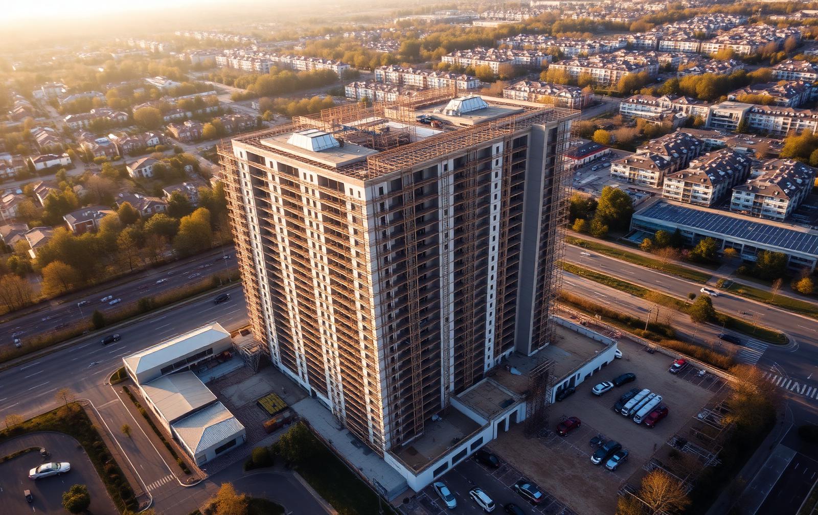
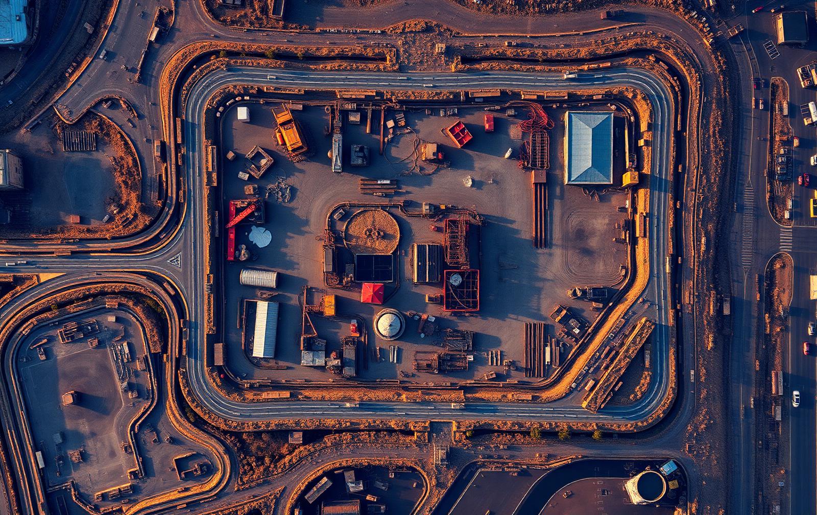
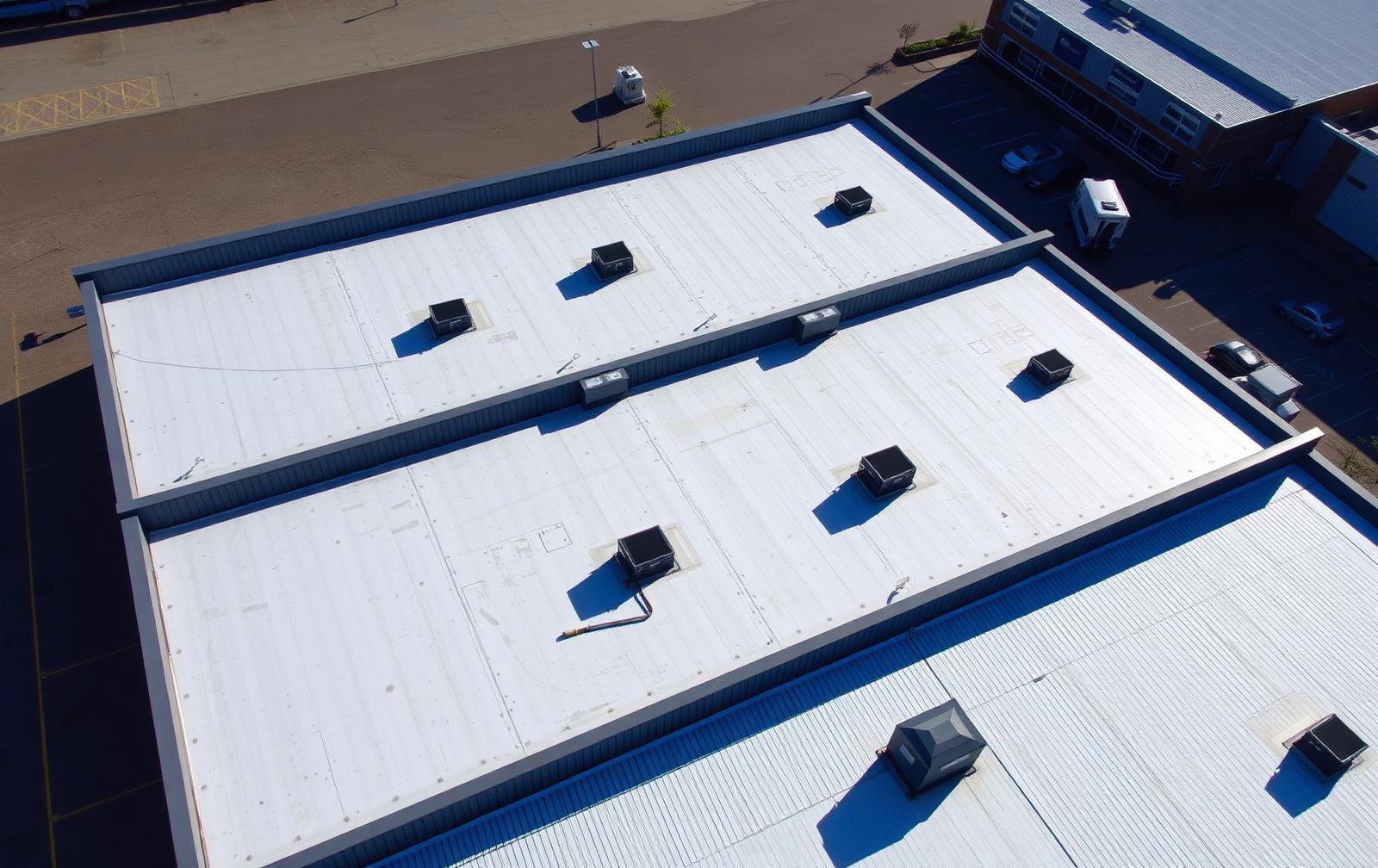
Clear evidence, not just aerial imagery
SBI structures visual evidence so that observations, client-supplied information, programme references and limitations remain clearly distinguished. The result is a more traceable record for project meetings, progress reviews and asset decisions.
Directly visible in the captured imagery or during the recorded site visit.
Supplied by the client or site team and identified as such, not independently verified unless stated.
Taken from a named programme, drawing or controlled document with its revision or status date.
A limited visual or comparison conclusion within Synergy Bridge's competence and commission.
Anything affecting coverage or confidence: weather, light, access, occlusion, distance or unavailable records.
Built for teams that need a clearer view of the project.
Developers, contractors, project managers, consultants, property teams, funders and stakeholders can commission one-off capture or a recurring evidence programme tailored to the project's reporting cycle.
Tell us what you need to see.
Share the site location, project stage, intended flight date and required outputs. We will review the initial information and confirm the next steps before any flight is agreed.