
Data & deliverables
Visual evidence supported by traceable capture data
Images and video are more useful when the client can understand when, where and how they were captured. Synergy Bridge can associate agreed media and reporting outputs with capture metadata and operational references, subject to aircraft, software, privacy, security and project requirements.
Flight and capture telemetry
- Capture date and local time.
- Image or video file identifier and Shot ID.
- Recorded aircraft position or coordinates where available and appropriate to release.
- Recorded altitude, heading or flight direction.
- Gimbal angle, camera/lens information and orientation where available.
- Aircraft, battery, flight or mission-log reference.
- Weather, visibility, lighting and operating-condition record.
- Take-off location, capture-position or map-tile reference.
- Quality-control, processing and limitation notes.
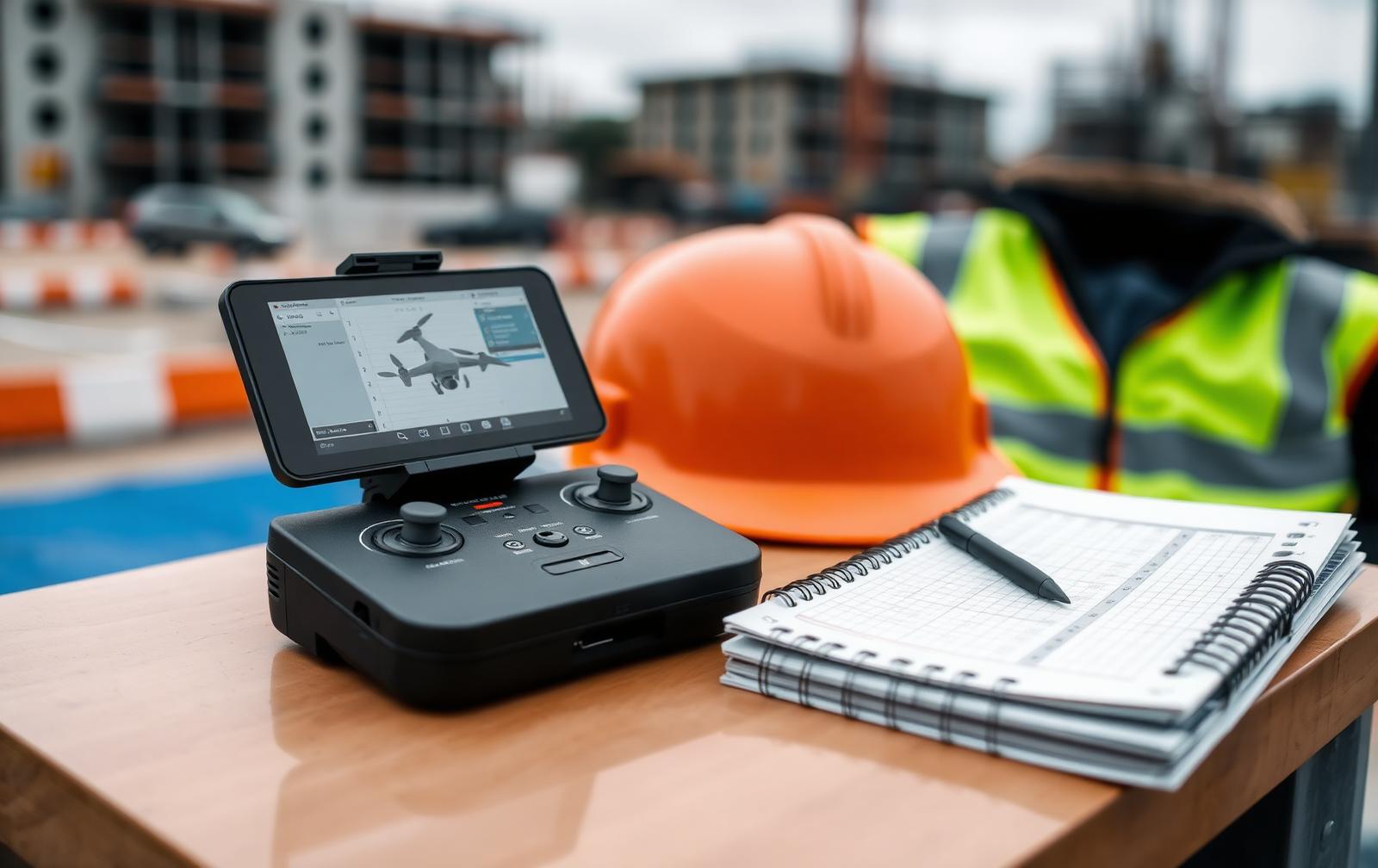
Capture data and traceability
Where relevant, imagery is supported by date, time, location, altitude and camera metadata, providing a traceable capture record and supporting repeatable monitoring. Mapping outputs and accuracy requirements are defined according to the client's intended use and agreed within the project scope before capture.
Deliverables & Output Formats
| Output family | Examples | Delivery note |
|---|---|---|
| Media | Aerial photographs, video clips, annotated images, before/after pairs. | Private secure link, password-protected folder or client platform. |
| Reports | Aerial photo report, progress report, visual inspection report, executive summary. | PDF, and editable source only where agreed. |
| Dashboards and registers | Monthly dashboard, milestone comparison, issue register, photo index. | Excel, PDF or client-approved platform. |
| Mapping | Orthomosaic, georeferenced imagery, annotated map, issue layer. | Format, coordinate system, accuracy and use restrictions agreed. |
| 3D / spatial | Point cloud, mesh, textured model or compatible derivative. | Processing method, coordinate reference, viewer format and intended use agreed before delivery. |
| Telemetry and metadata | Capture metadata, flight reference, Shot ID, conditions and QC notes. | Only the fields required for the client purpose are released. |
| Integrations | GIS, CAD, BIM or authorised project-data exports. | File format, compatibility, data structure and responsibility boundaries agreed before work begins. |
Capability status model
Every capability carries a published status so the service can expand without overstating what is available today.
Verified, operational and publicly promoted.
Published only after workflow, equipment, competence and quality controls are confirmed.
Delivered with an identified qualified partner and a clear responsibility split.
Retained in the content system but not offered on the public site.

Future site and project telemetry
Weather stations, environmental sensors, authorised plant information, client production data and structural-monitoring feeds may become available later, once the required equipment, integrations, data agreements, support process and competence are in place.
Scalable project data
Deliverables can be organised for secure client review and future integration with project dashboards, mapping platforms and other authorised data sources. Live monitoring, site sensors and real-time integrations can be assessed and commissioned separately as client requirements develop.
Tell us which outputs your team actually uses.
Share the intended decision, required format, accuracy expectation and delivery route, and we will confirm what can be produced and what would need a specialist.